One of the "Streets", past and present, of Downtown Utica's CoLa Neighborhood.
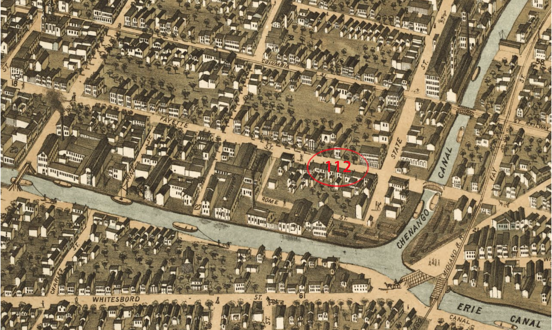
Rome Street appears in this 1873 Map Of CoLa. It is found at the northern end of State Street, where it runs east 500 feet, and then south for 190 feet connecting to Lafayette Street. Some maps label the 190 feet section as Carton Avenue, but today both sections are know as Carton Avenue.
We're not opposed to a new hospital, just do not bulldoze Downtown Utica's Historic Columbia Lafayette Neighborhood... "Build It At St. Luke's!"